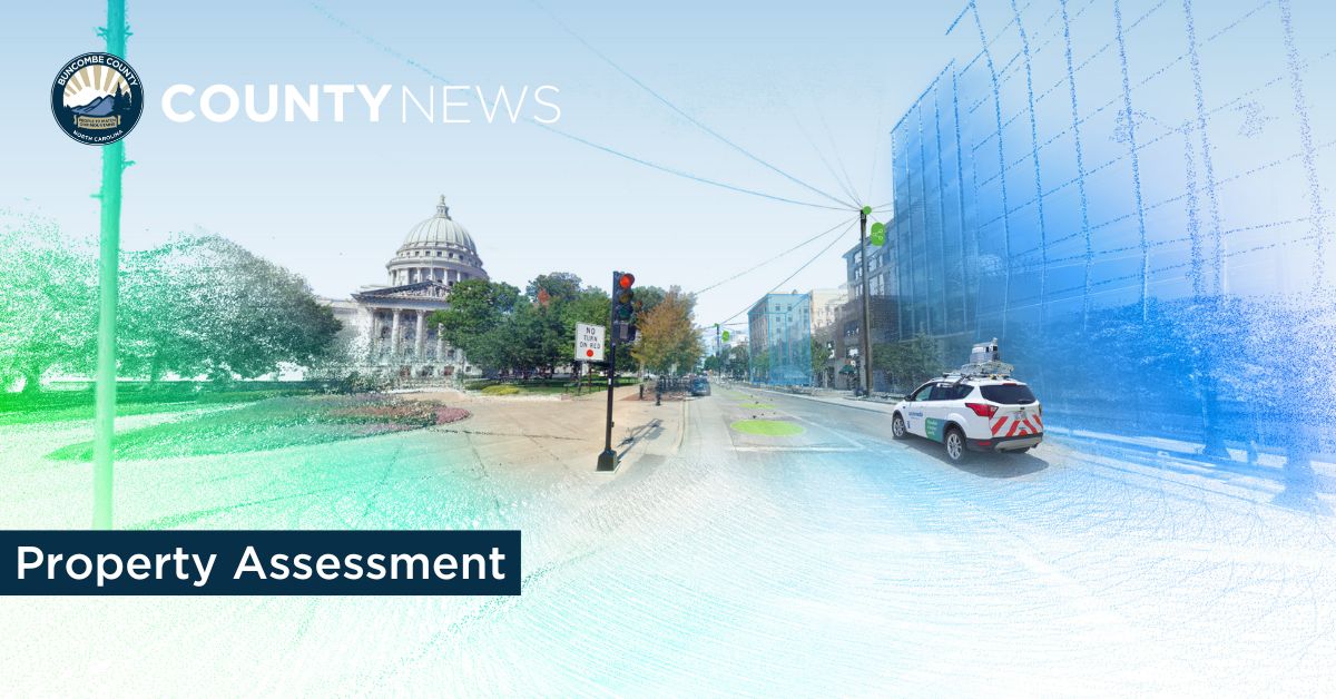
As we head toward Reappraisal 2025, you may notice some futuristic vehicles rolling through your neighborhood. CycloMedia Technology, a geo-data driven company collects 360-degree imagery and Light Detection and Ranging (LiDAR) data from public roadways to capture high-quality images that will aid the assessors as they analyze property and neighborhood conditions.
Using this type of technology is part of our ongoing commitment to excellence in appraisal practices. The International Association of Assessing Officers’ standard on mass appraisal practices notes the benefits of using technology to improve street-level photography. “We have found that some of our more traditional methods are not as cost-effective as we would like them to be, especially in the rural areas, when it comes to drive time versus images captured,” notes Assessor Keith Miller. “This technology is very similar to Google’s street view. Where we would have used a single image in the past, we can now use high-resolution panoramic imagery.”
At the end of 2019, Cyclomedia captured 1,361 miles of high resolution 360° imagery and mobile LiDAR for Reappraisal 2021 in the incorporated area within Buncombe County. With more than 130,000 parcels, it took too long to get assessors into the field and get data back. Plus, there were new areas of growth that the Assessor's office didn't have capacity to reach with field assessments. Buncombe County now uses Cyclomedia's imagery and data to perform assessments, saving valuable resources. Cyclomedia also delivered 54,506 JPEG cut-out images across the County. These images have been integrated into the County's CAMA system and Esri applications using Cyclomedia's open API. We are also able to take full advantage of their data and share it with other departments such as Planning, Permitting, Environmental Health, Emergency Services, and the Sheriff’s Office. Emergency Services is using StreetSmart to ensure that the pinpoint of a building is exactly at the entrance, and visualizing what kind of doors exist for access.
Key Features
- Interactive visualization of all parcels
- Perform accurate desktop assessments of real property
- Perform desktop measurements with high level of accuracy
- Update and validate recorded information
- Identify images by time/date
- Create reports with measurement and notes
- Analyze data more quickly and accurately at less cost
- Respond to assessment appeals in a timely manner
- Increase staff efficiencies and accuracy of data
- When dealing with customer requests/inquiries we can immediately access a 360-degree perspective of property and neighborhood
Privacy statement from Cyclomedia
Once imagery and data are gathered, they are processed, transferred to a database, and ultimately delivered to Buncombe County for assessment purposes. Images are taken of the front of commercial and residential properties. CycloMedia does not travel onto private property and collects no data on the inside of commercial or residential properties – neither the imagery nor LiDAR can see into windows or beyond walls. To ensure the public’s privacy, CycloMedia blurs faces and license plates from all collected images. Furthermore, CycloMedia’s data is not real-time, and only reflects the environment as it was on the day images were taken. CycloMedia does not make video recordings.
Technology used by CycloMedia is similar to that used by Google, Apple, and other companies that collect data for mapping purposes.
If you have any concerns, please email privacy@cyclomedia.com or contact the Buncombe County Property Assessors Office.